Cape Scott Trail – Cape Scott Provincial Park
It Is The Journey Not The Destination
By GREG “Gug” GIRARD
” I like this adventure. I like the scenery. I like the remoteness. The Cape Scott Trail, in my world, is one of my favourite backpacking adventures in Canada so far. There is something about it that connects with me on many levels – none being more dear-to-my-heart than the four beautiful remote sandy beaches. “
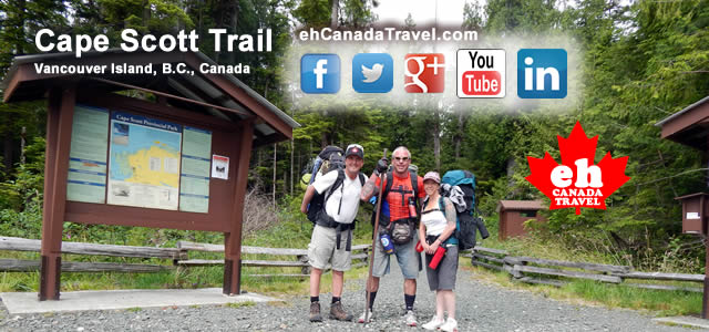
In July of 2014 myself and 2 good friends (lets call them the Posse) embarked on a 54 kilometre backpacking, hiking and wilderness camping adventure exploring part of the Cape Scott Trail / North Coast Trail in the Cape Scott Provincial Park which is located on the remote northern tip of Vancouver Island, British Columbia, Canada.
For myself, it was the 4th time researching the Cape Scott Trail. I cannot help it. I like this adventure. I like the scenery. I like the remoteness. The Cape Scott Trail, in my world, is one of my favourite backpacking adventures in Canada so far. There is something about it that connects with me on many levels – none being more dear-to-my-heart than the four beautiful remote sandy beaches.
So far – knock on wood – I have never run into crowds on this adventure.
Heck, one time I did not run into any people at all. However, I have run into monsoon storms, torrential rains, scorching sunshine, black bears from afar, mud, mosquitoes, and a whole lot of solitude. On this journey, myself and the posse, enjoyed sunshine most of the adventure (four days of sun, one rain). But most of all I like the challenge, the sweat, the grunts and groans … and the satisfaction of completing a challenge.
The trailhead of the Cape Scott Trail is near the remote community of Holberg, BC, Canada. To access the trailhead one must drive a 63 kilometre long gravel road. The gravel road to Holberg begins near the communities of Port McNeill and Port Hardy, BC, Canada. The gravel road is no leisurely day in the park either. Nope. It is decorated with pot holes and it rains flying stones and pebbles from passing vehicles (who at times are in no way going near the speed limit). If the flying stones do not get you a flat tire might so always bring a spare tire.
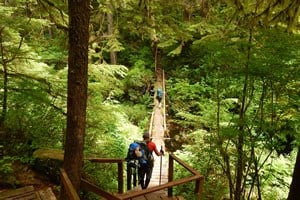
At the trailhead parking lot we suited up with our backpacks, chugged down a Red Bull and were on the trail by 9:30 AM. The good news about the trail is that the hardest part of the route is near the beginning. Just past the boardwalk junction to San Josef Bay the trail turns to earth and begins to climb a long hill which follows a creek bed of sorts. Once at the top of the long gradual hill the rest of the route is relatively flat.
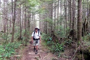
You see… it is not the terrain of mud and tree roots that is the challenging part… no… it is the distance. For us that distance would be the 15 kilometres we needed to backpack to reach our base camp on Nissen Bight Beach. That backpacking is with a 70 lb pack. But before we reached the “prize” we had to hit some of the highlights on the trail – Eric Lake and Fisherman’s River. Both are major sightseeing markers on the trail.
Eric Lake is about 3-4+ kilometres from the trailhead. At Eric Lake there is a campground with tent pads and a food cache. Our group faired well to this point. At Eric Lake we dismounted and we snacked out. We explored the forest and found some giant Cedar Trees. I wondered down to the lake for some wilderness euphoria and to do some video. I got my nature fix and walked back up to meet up with the posse. We mounted our packs. There was no need to stay long we had a trail to hike.
Time flies when your having fun grunting and groaning and high stepping tree roots. Before we knew it we were at Fisherman’s River and then at our destination on Nissen Bight Beach. No time to celebrate yet – we still had to set up base camp, collect firewood, start a fire and cook up some warm food. Tummies full, we talked till late in the night around a campfire. Later, when my head hit the pillow I was out like a night. Man… I must really like to fall a sleep to crashing waves.
The next day we relaxed in the sunshine, we explored Nissen Bight, we visited the fresh water source, we climbed some rock cliffs, we scanned the beach for walking sticks, we talked more stories and we took allot of photos. At night we told more stories around the campfire, we laughed allot and… as soon as my head hit the pillow I was out like a light again. Funny how lots of fresh air and exercise is the best sleeping pill one can take in the wilderness.
The next day I woke up eager for adventure as this was the big day I was looking forward too the most. To me the highlight of the adventure was today’s 24+ kilometre day hike to the lighthouse. Not because of the lighthouse as there is no view there. No… the highlight was the journey to the lighthouse and the 3 massive remote sandy beaches I was about to hike across to get to the lighthouse.
I left Nissen Bight Beach alone in the morning. The posse decided they wanted to stay behind on Nissen Bight Beach and have a romantic day together alone. I could relate. I can understand how a bouncing-off-the-wall Greg can be a bit annoying. So they sent me on my way.
From Nissen Bight I had to backtrack about 2 kilometres to the junction on the Cape Scott Trail which would take me to the lighthouse and the three sandy beaches. In total I hiked 5.8 kilometres to the first beach – Nels Bight. I passed through an old pioneer village with artifacts and the foundation of one of their homes. I hiked through Hansen’s Lagoon. I could see fence posts from where the pioneers use to graze their livestock. I walked along wooden rails which use to be the road they would pull their carts on. I got schooled in history on the way to Nels Bight.
Two kilometres later I arrived at Experiment Bight. Not a soul in sight. I had the whole beach to myself. I took the opportunity to save a pebble from my boot who was screaming to be let free. To say the least I was in no rush to move on so I took my time.
Just under 2 kilometres after Experiment Bight I arrived at Guise Bay Beach. Next was the lighthouse. Guise Bay ended up as a sightseeing stop as well. Not because of a pebble in my boot but because someone had set up a lawn chair (must of washed in with the tides) and a table resembling an outdoor patio set. I took advantage of the vantage point for a quick lunch and some drop dead views.
12.6 kilometres from Nissen Bight I arrived at the lighthouse. There is no views at the lighthouse. However, the lighthouse is home to two Canadian Maple Leaf picnic tables. I had to take advantage of them and finished off what was left of my lunch. Not another hiker was in sight. Nope… it was just me and the lighthouse keeper. We shared some pleasantries. Soon later I was back on the trail hiking the 12.6 kilometres back to our base camp at Nissen Bight.
The next day I woke up and the mist had rolled in. Later that day the rain came. Being a tarp guru we set up some cover and fed the campfire and sat around watching the rain fall and backpackers stroll by as they were coming off the North Coast Trail. Rain, to some, can be a downer on most days but not here where we had crashing waves and a long sandy beach. Later, we all retreated to our tents and caught up on some sleep.
The next day the rain cleared and the clouds remained silent. It was great timing for our 15 kilometre hike back to the parking lot and our ride home. I am grateful for the company of my friends on this trip. They made the adventure that much more special. I am most grateful to Mother Nature and to the people who maintain the Cape Scott Trail. I would like to say thank you to all involved in this Cape Scott Trail adventure for creating more life long memories of which I will cherish.
Cape Scott Provincial Park : http://www.vancouverislandaccommodations.com/porthardy/capescott.htm
Holberg, BC, Canada
BC Parks Website : http://www.env.gov.bc.ca/bcparks/explore/parkpgs/cape_scott/
Phone: 1-250-956-2260
**********
The “eh Team” of ehCanadaTravel.com (eh Canada Travel & Adventure) are the brother team of Greg and Colin Girard. Together they are the brains behind the ehCanadaTravel.com travel website, blog, social media and ehTV which is the largest and fastest growing booking, planning and researching tourism and travel network for Western and Northern Canada – currently expanding into Eastern and Atlantic Canada.
**********
[google-map-v3 shortcodeid=”bacb0fcb” width=”80%” height=”350″ zoom=”12″ maptype=”roadmap” mapalign=”center” directionhint=”false” language=”default” poweredby=”false” maptypecontrol=”true” pancontrol=”true” zoomcontrol=”true” scalecontrol=”true” streetviewcontrol=”true” scrollwheelcontrol=”false” draggable=”true” tiltfourtyfive=”false” enablegeolocationmarker=”false” enablemarkerclustering=”false” addmarkermashup=”false” addmarkermashupbubble=”false” addmarkerlist=”cape scott provincial park, british columbia{}hiking.png{}Cape Scott Trail” bubbleautopan=”true” distanceunits=”miles” showbike=”false” showtraffic=”false” showpanoramio=”false”]


