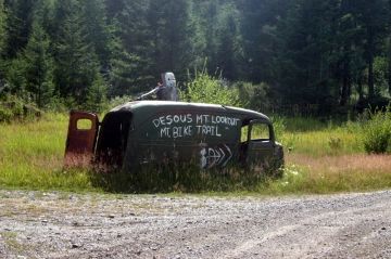
Desous Mountain Biking Trails

Difficulty: Difficult
Park Amenities:
The Desous Mountain trail system is designed for mountain bikers, but be aware that hikers and horseback riders also explore the back country in this area. The trails start at the top of Desous Mountain at an elevation of 1327 metres from a large gravel parking lot. Look into the trees and through the tall grass for trail marker signs leading downhill.
The gravel road to the top of Desous Mountain can be rough and steep at times. But once at the top, the views of the valley are very impressive. From the top, the mountain biking trails head down the west and east side of the mountain. Most biking routes are considered expert and advanced runs with only the gravel road traveled up the mountain rated as the intermediate run.
A few of the routes include the "Soo Long", "Colt 45" and the "Godspeed". The 5.2 kilometre "Soo Long" expert run is downhill along a mountain slope and limestone walls through fir trees down to the Fraser River. The "Colt 45" is an expert jump line with plenty of tables and jumps to navigate. The 4.4 kilometre "Godspeed" expert run travels through trees, over waterfalls and provides air time via the many natural gap jumps along the route.
The mountain biking region is only possible because of the cooperation of the neighbouring properties. Please respect the land and their privacy. It is also important to make note cows have the right of way on these trails. In this country, free range cows share the mountain with mountain bikers and hikers.
Explore Desous Mountain Trails in Williams Lake, Central Cariboo-Chilcotin Region, British Columbia, Canada
Address:


