Francois Lake

Park Amenities:
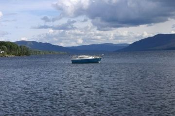
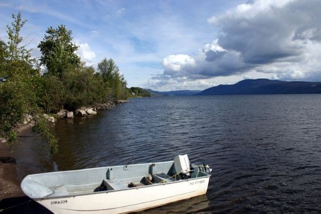
Francois Lake is the second longest lake in BC, Canada. The lake stretches out over 25, 750 hectares and reaches a depth of over 87 metres (280 feet)... some say depths of 1000 feet have been recorded. We do know the lake is fed by the Nadina River on the west end which flows into the lake and drained by the Stelako River on the east end where the lake empties out.
Francois Lake is 110 kilometres (68 miles) long with many chances to pull over and enjoy beautiful scenic views. That should not be tough since the lake, itself, is an alpine lake with an altitude of 715 m (just over 2340 feet).
When traveling the roads around Francois Lake explorers will come across a vehicle ferry that crosses the lake connecting the Burns Lake side of the lake with Southbank on the opposite side of the lake. The ferry operates year round and is a vital transportation link to the area. During the winter months the lake sometimes freezes over and it is a "kodak moment" to see the ice-breaking ferry carving a path through the ice while crossing the lake.
The two lane road surrounding Francois Lake provides explorers many opportunities to explore recreational campgrounds, boat launches, picnic sites and trailheads. The wandering road also leads to some beautiful wilderness lodges in the area, some fishing outfitter companies and floatplane flightseeing tours.
The area around the lake is well equipped with many boat launches providing easy access for the recreational adventurer interested in spending a day fishing, canoeing or boating. Many visit Francois Lake to fish for Char, Lingcod, Rainbow Trout, Whitefish and Kokanee.
The Francois Lake Loop Driving Route is another opportunity to view the area from the comforts of your vehicle. The entire loop route is 190 kilometres in length and provides some spectacular lake scenery, taking in a ferry crossing and then circling back. Along the route some of the more interesting stops include the many lakes, the Verdun Lookout, Cheslatta Falls, some fossil beds and Nourse Creek Falls.
Francois Lake near Burns Lake, Houston & Southbank Communities
Address:
How To Get ToFrancois Lake
:From Houston: From Hwy 16 travel south on Owen Lake FSR for 62 kilometres (39 miles) to the Noralee Boat Launch and picnic site on Francois Lake.
From Southbank: When on the Nechanko (southside of Francois Lake) travel towards the ferry terminal on Francois Lake in Southbank.


