
Join Us
Join Us


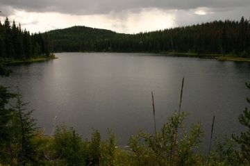
The 8 kilometre loop hiking trail starts from the parking lot at Kager Lake. From the parking lot the walking path loops around Kager Lake in both directions connecting to the loop hiking trail circling around Long Lake. Most of the hike is trekking through sub alpine forest mainly consisting of second growth pine and spruce trees.
On the south side of Kager and Long Lake there are a few off-shoot trails branching out to various viewpoints. The viewing platforms provide excellent views of the surrounding forests and lakes. Time your visit with the migration season of birds and the viewing platforms become a window for birdwatchers.
Kager and Long Lake Loop Trails connect to another 3 kilometres of trails leading to another lake named Slug Lake located southeast of Kager Lake. The trail system in and around Slug Lake is also designated for use by ATV and off roading enthusiasts in the summer and snowmobiles in the winter. This area is the only designated trail area for motorized vehicles in the Kager Lake system.
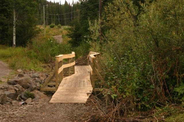
The Kager Lake Trail is a very popular local recreation destination for many outdoor enthusiasts who enjoy hiking, horseback riding and mountain biking.
The trail is located in prime wilderness country so be mindful and respectful of the forest environment around you. It is always good to make some noise to let the wildlife know you are in the area because you are sharing the forest with bears, moose, deer and birds.
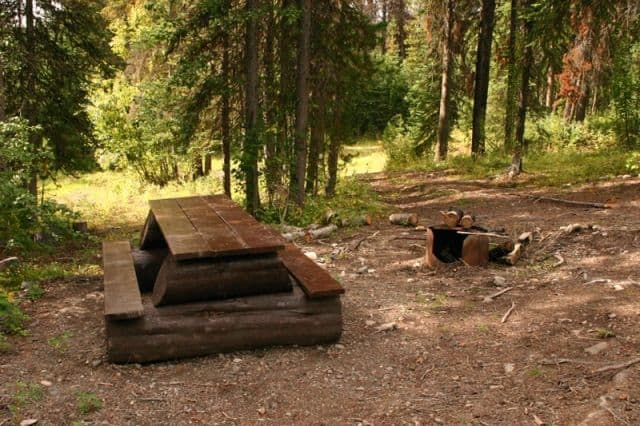
The large gravel parking lot at the trailhead to Kager Lake is also the location of some camp sites. The walk in campsites are hidden in the trees with picnic tables and fire pits. At the far end of the parking lot is where they hide the outhouses. And at the entrance of the parking lot is a small roof top boat launch for canoes.
Address: