Alaska Hwy - Fort Nelson, BC to Watson Lake, Yukon

Trail Length: 539 Kilometres (335 miles)
Park Amenities:
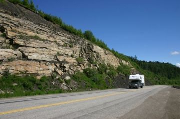
The Alaska Highway is divided into three sections. The second section to this historic driving route travels 335 miles from Fort Nelson, BC to Watson Lake in the Yukon Territories. Section 2 of the Alaska Highway begins from the oil and gas community of Fort Nelson in northern British Columbia, Canada. This section of the highway travels west and is considered one of the more remote and scenic sections of the historic driving route. There are high mountain ridges, deep canyons, roaring rivers, hot springs, and plenty of wildlife sightings.
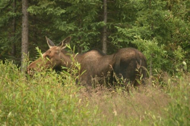
Wildlife is best along this section of the route as there are few communities (or people) to disturb the wildlife feeding and breeding grounds. While driving, biking or cycling this section of the Alaska Highway there are opportunities to view wildlife like Black Bears, Grizzlies, Big Horn Sheep, moose, Caribou and lots of free roaming Buffalo (Bison).
The route explores many parks and wilderness areas. The parks visited along this section of the route include the Muncho Lake Provincial Park, Stone Mountain Provincial Park and the Tetsa River Regional Park.
Along this section of the Alaska Highway are some impressive natural landscapes to keep an eye out for including folded mountains, flowering meadows and hot springs. One of the best outdoor public hot springs in BC, Canada is located along this section of highway and it is called the Liard Hot Springs. It is not a man made pool-like hot spring but a hot spring left in its natural setting surrounded by forest. Here is the kicker. It is also a campground so you can stop and enjoy it for a few days.
Travelers will notice mileage markers along the shoulder of the highway. The markers are in miles and not in kilometres, as miles were the measuring stick back in the day. The distance markers are usually located where there are highway pull outs, rest stops, viewpoints, historic sites and points of interest.
From Fort Nelson, BC the first point of interest along this section of the Alaska Highway is located at "Mile 392" and it is Summit Lake and the Stone Mountain Provincial Park. It is the highest point on the Alaska Highway providing amazing views of the surrounding mountain ranges. During the early days of construction of the highway the crews had to blast their way through the mountain when they reached Summit Lake.
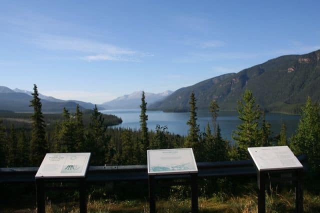
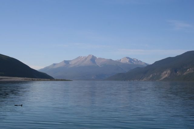
At "Mile 456" is Muncho Lake Provincial Park. Another beautiful lake and plenty of recreation. The lake is easily recognizable by the green color of the water and by how the Alaska highway follows its shoreline for over 10+ kilometres. There are hiking trails in the region and some good spots to pull over and enjoy the views.
At "Mile 496" is Liard Hot Springs. No adventure on the Alaska Highway should go without stopping in at these natural hot springs. A beautiful boardwalk trail leads to a forest opening with two hot spring surrounded by trees, brush and singing birds.
At "Mile 627" is the British Columbia and Yukon Border. The marker is the official border crossing between this province and territory. However, in reality, the Alaska Highway un beknowest to many crosses the border many times prior to reaching "Mile 627" .
At "Mile 635" is the community of Watson Lake. It is the first community in the Yukon Territories when arriving from BC. There are services here important to travelers like accommodations, campgrounds, bank, gas stations, restaurants and grocery store.
Alaska Highway from Fort Nelson in British Columbia to Watson Lake, Yukon Territories
Address:


