Seymour Ridge Trail

Difficulty: Difficult
Park Amenities:
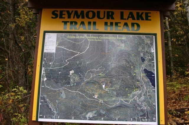
Seymour Ridge Trail in Smithers, British Columbia, Canada is part of a massive trail network exploring the lower slopes of Hudson Bay Mountain, especially the south facing slopes called the Smithers Community Forest.
The Smithers Community Forest extends over 4,620 hectares and explores many different types of eco systems thriving in the region. The trails criss-cross and connect providing many opportunities for various types of views of the Bulkley Valley. The Seymour Ridge Trail is one of the many trails in the area. The hiking trail is a small series of switchbacks leading to a ridge called the Bald Spot Lookout at 750 metres in elevation. The duration of the hike to the viewpoint is about an hour each way.
Expect some uphill hiking. It is not a hard hike, but it is not a real easy hike either. Make sure to pack some water, wear some good hiking boots and bring a real good camera on this hike.
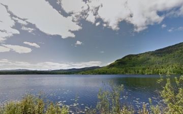
The Seymour Ridge Trail leads explorers to views of Seymour and Bigelow Lakes and the surrounding lower Bulkley Valley. The region is totally covered in trails used heavily by hikers in the summer and and xc skiers in the winter. Some of the trails in the vicinity of the Seymour Ridge route are Dahlie Creek Connector, Waterfall and Goldeneye Trails.
The Seymour Lake Trail and the rest of the trails in the Smithers Community Forest is a fantastic opportunity for the public to see how recreation, timber and wildlife values of a forest are managed together by a community.
In the winter, it is not uncommon to see sledders sliding down the nearby hills or people skating on the frozen surface of Seymour Lake.
Explore Seymour Ridge Trail in Smithers, British Columbia, Canada
Address:


