

Join Us
Join Us


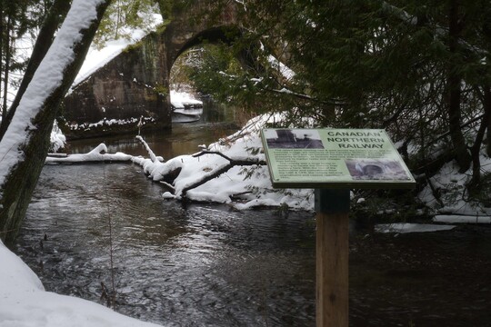
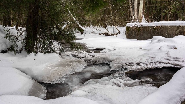
The Orono Crown Lands in the Durham Region encompass 633 acres of the former Ontario Tree Nursery. Additionally, spanning fifteen kilometers, well-marked nature trails wind through diverse landscapes of mature evergreen forests and deciduous hardwoods. Moreover, many trails offer easy walking paths, dotted with benches and leading to a spacious picnic area west of the Ochonski Rd. entrance. Furthermore, Wilmot Creek, renowned for its pristine cold-water, traverses the property, hosting a rainbow trout spawning run in mid-April and a salmon run in late August.
In terms of activities, visitors can enjoy walking, hiking, and biking, as well as fishing and dog walking. During the winter months, cross-country skiing and snowshoeing provide additional outdoor recreation options. Best of all, there are no charges for admission or parking, and complimentary trail maps are provided. To help maintain and support the area, consider completing a membership form or donating at the designated stations in our parking lots.
Whether you enjoy hiking, biking, fishing, skiing, snowshoeing, or simply taking your dog for a peaceful walk in nature, you can do all of that while immersing yourself in the stunning landscape of the Orono Crown Lands. Therefore, why not plan a visit and experience it for yourself?
When it comes to navigation, printed trail maps are usually available in special boxes at the parking lots. Alternatively, you can print one at home from the Orono Crown Lands website. In addition, display maps at trail entrances provide a helpful starting point, featuring "You Are Here" indicators.
As you explore, you will find trail signs at various points along the way. For instance, colour-coded triangles appear every few hundred meters to indicate which trail you are on. Moreover, 25 numbered locator signs across the seven trails correspond to numbers on the printed maps. Additionally, these numbered signs feature QR codes, allowing visitors with a smartphone QR code reader to access more information about the Crown Lands instantly.
Address: