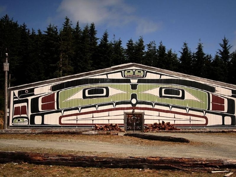
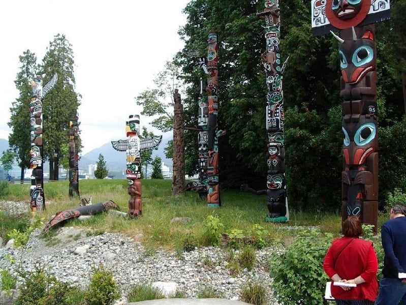
Totem Poles and Grease Trails: Native Heritage on Canada's West Coast

When we had some visitors from the UK we decided to take them on a "grand tour" of B.C.to explore our province's geography and cultural heritage. As our visitors were to discover, the size of British Columbia is mind boggling. Measuring 944,735 square kilometers in area, it is larger than many nation states, and bigger than California, Florida and Texas. Our planned journey, a circular route known as the BC Native Heritage Circle, was a ten-day, 2000 km road trip into the heart of this vast province.
After taking the ferry from Vancouver to Victoria, we drove up island to Port Hardy, from where we took the spectacular 15 hour ferry ride up the Inside Passage to Prince Rupert, 400 miles east along Highway 16 to Prince George, and then south on Highway 97 via Williams Lake, to Highway No. 1 (the Trans Canada Highway) which took us through the spectacular Fraser Canyon to Hope and back to Vancouver.
One highlight of our trip included the Umista Cultural Centre on Cormorant Island, a short ferry ride from Port McNeill. The heart of U'mista is the repatriated Potlatch Collection of ceremonial objects confiscated from the Kwakwaka'wakw people when the potlatch ceremony was outlawed in 1922.
Another highlight was the Nisga'a Memorial Lava Bed Provincial Park, managed jointly by the province of British Columbia and the Nisga'a people. Here you can see lava flows and learn about both geology and the culture of the Nisga people.
Read more here:
http://www.infobarrel.com/Candlefish_and_Salmon_Berries_Traditional_Food_of_the_People_of_the_Pacific_Northwest_

