North York Creek Plane Crash Trail

Trail Length: 20 km
Difficulty: Difficult
Park Amenities:
North York Creek Plane Crash Trail
Hiking Trail Crowsnest Pass
20 kilometre loop hiking trail leading to a RCAF DC-3 plane crash site.
The North York Creek Plane Crash Trail is located in the Crowsnest Pass of southern Alberta. This trail is considered difficult for hiking as there are lots of steep areas, loose rocks and it is a heavily used quad trail. Considered part of the Livingstone Public Land Use Zone, you can take the easier way up on a 4x4 quad for the quickest round trip. Be aware of the steep areas and keep control at all times. The trail is best used during the summer and fall months of June to early October.
North York Creek Plane Crash Trail
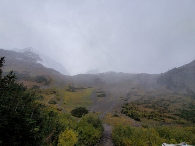
This 20km trail will take you up 949 meters of elevation gain with breathtaking views and amazing areas to watch for all kinds of wildlife that live in the area. At the top of the trail is the resting place of the RCAF DC-3, a plane crash that took place many years ago. Please park quads at a distance and respect the historic site.
History of the Plane Crash
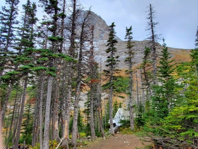
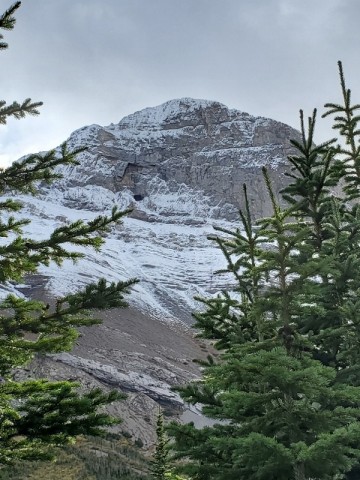
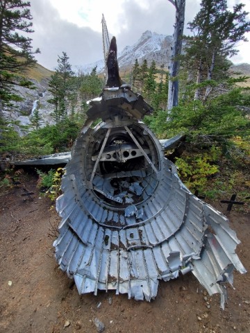
On January 19 1946 RCAF Douglas Dakota III (DC-3) left Comox Airport in British Columbia headed for Winnipeg International Airport in Manitoba Canada. Unfortunately on the last range of mountains it had to pass before flying over flat prairies for the final leg of the flight, poor weather was reported and the plane crashed into Mount Ptolemy of the Crowsnest Pass region of southern Alberta killing all 7 soldiers on board. You will find a large piece of the fuselage nestled into the final treeline as you approach the highest part of the trail on the mountainside. If you take a walk around the site, you will notice pieces of the plane wreckage scattered everywhere. Pieces can be found lying under bushes, down the treeline, and even along the creek flowing beside the fuselage.
The Memorial
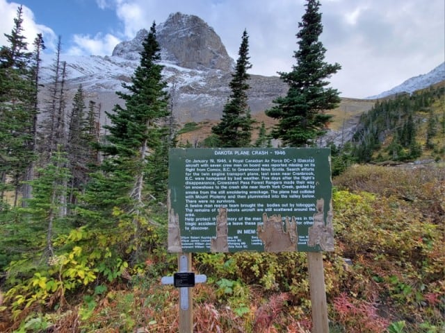
Unfortunately, the memorial sign at the top of the site is in disrepair and is a bit hard to read these days. Around the fuselage you will spot 7 crosses, 1 for each soldier who lost their life that fateful night. A 12-man rescue team recovered the bodies days later, after following the smoke trail on snowshoes to find the still smoldering wreckage.
In Memory
- Flying Officer Robert Huycke Watt
- Flying Officer James Leonard Norris
- Flight Lieutenant William Joseph Woods
- Flight Lieutenant William James Sealey
- Sergeant Vernon Rupert Ducklow
- Leading Aircraftsman Daniel Levy
- Leading Aircraftsman Richar J Brockwell Lowe
North York Creek Plane Crash Trail
Crowsnest Pass Alberta Hiking Trail Memorial
Address:


