Seeker Bio
Rim Rocks Hiking Trail-Exploring the Rocks
Walk Through a Volcanic Valley in Canada
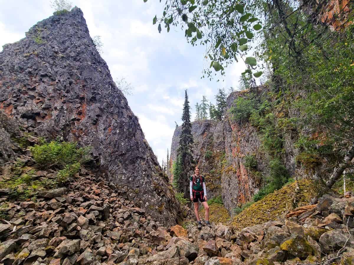
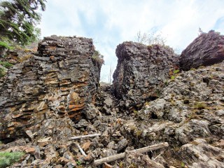
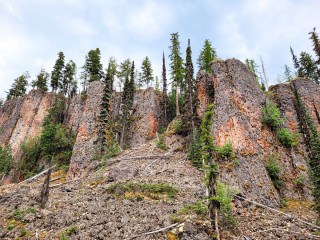
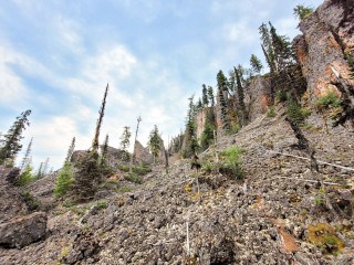
Rim Rocks Hiking Trail allows you to climb and trek through boulders and along lava rocks.
If you want your heart to jump a beat, Rim Rocks Hiking Trail is it! I did this hike in the spring with snow still on the ground and heard you could climb down into the rocks. Unfortunately, we couldn't find the trailhead down and it would have been a bit dangerous so we decided to come back in the summer.
"There are no shortcuts to any place worth going."
Beverly Sills
Quick Glance for Rim Rocks Hiking Trail
Time: 2-4 hrs
Distance: 5.1 km (if following the trail, longer/shorter if exploring the rocks)
Trail: Loop
Difficulty: Moderate
What to bring: Water, snacks, sun protection, hiking sticks (optional), and proper hiking shoes
Road conditions: Accessible by car but it's quite a washboard in the summer.
Other information: Climbing through the rocks can be quite challenging and dangerous, please be prepared.
Directions:
Head east towards Lavington, British Columbia on HWY BC-6, turning right on King Edward Forest Service Road for about 5.5km. Alternatively, type in 'Rim Rocks Trail' into Google Maps. Park your car on the side of the road to start the trail.
Rim Rocks Hiking Trail:
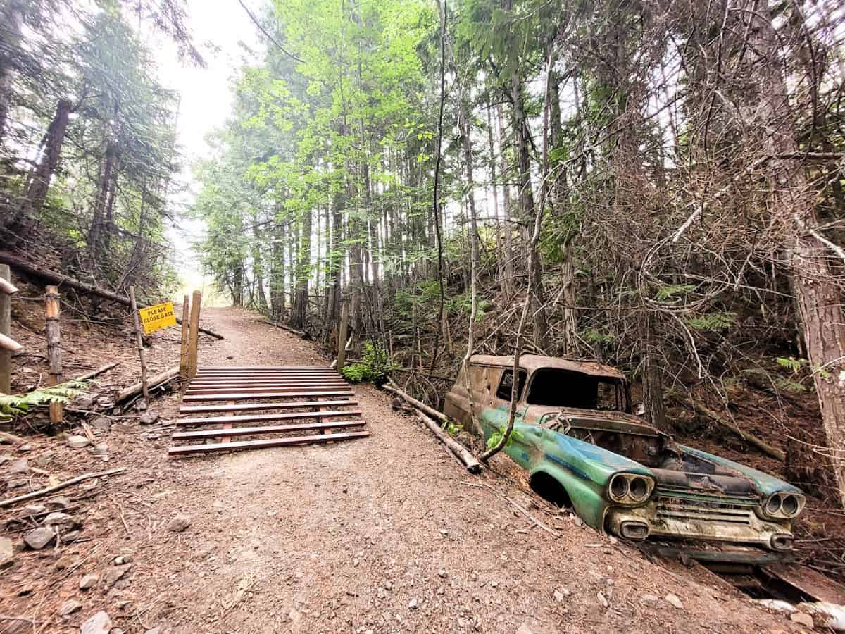
There has been a bit of logging at the start of the trail before you finally end up walking through some trees. You'll pass a cattle guard with an old abandoned car on the righthand side.
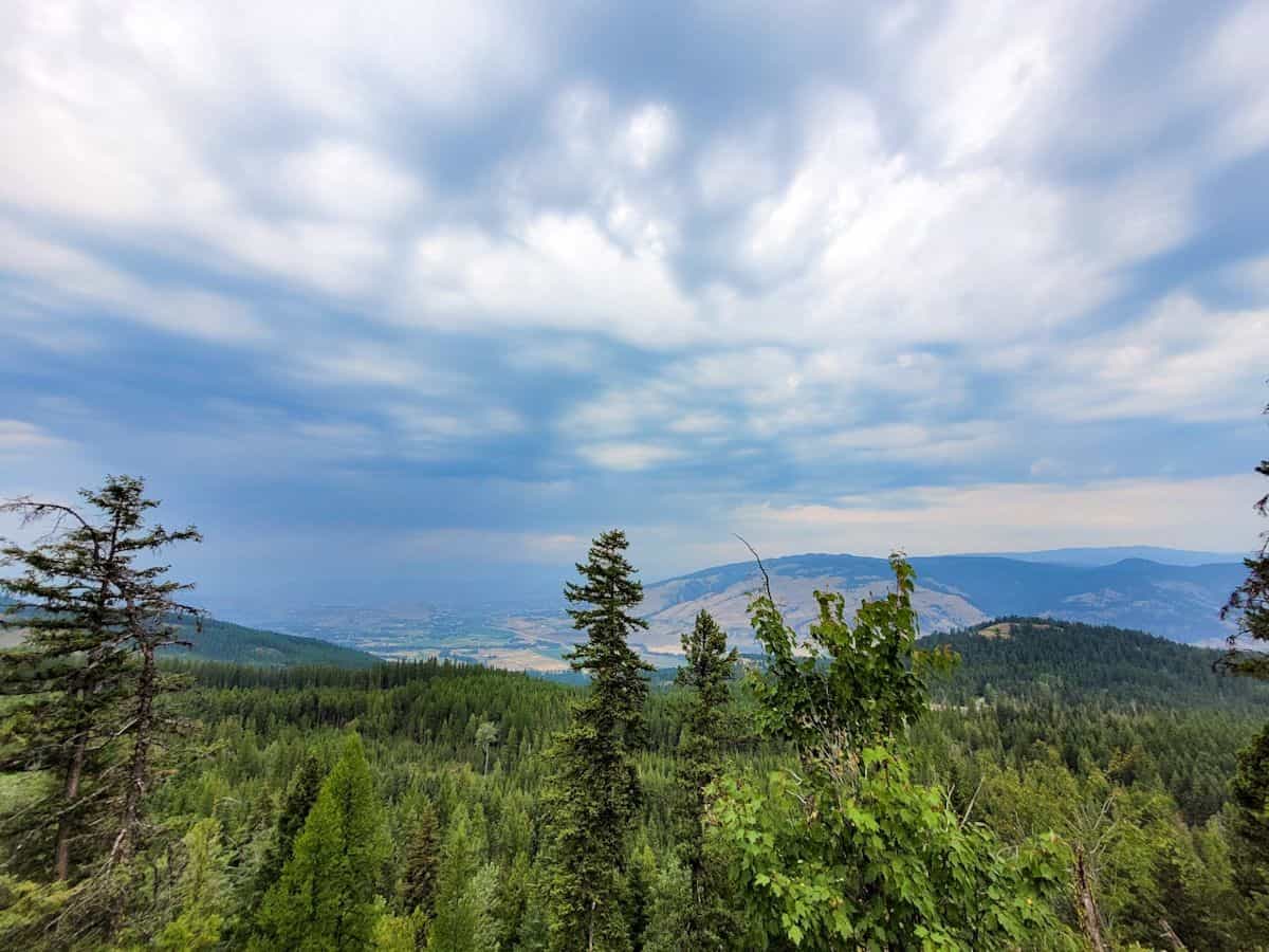
Just a little bit past the old car, the trail will veer off into 2 trails. Continue left where you will come across a viewpoint that overlooks the valley. Just after this, you will descend down into the rocks. If that's not your thing, keep following the trail to finish the hike which will also lead you back to the road and to your car.
First Descend of Rim Rocks Hiking Trail
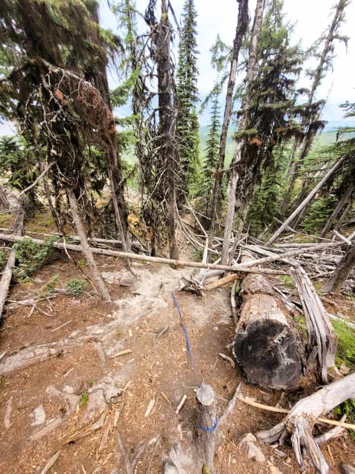
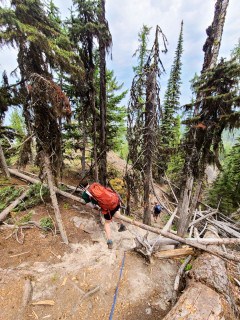
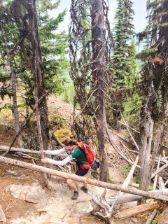
There are 2 descends you will need to climb down before venturing into Rim Rocks. As you approach the first descent, a blue rope/leash is tied to a log, in addition to the trees, to help you down. Be careful when going down as the dirt is loose and it is steep.
Second Descend of Rim Rocks Hiking Trail
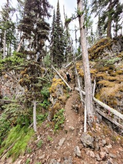
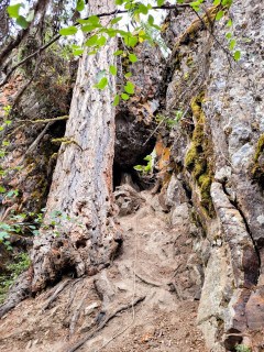
Once down, you have the freedom to roam around the rocks as you like. To get back to the trail, you can either go back the way you came or try and make your own way back to the road (be respectful of private property signs).
Rim Rocks Hiking Trail-Exploring the Rocks
When you subscribe to the blog, we will send you an e-mail when there are new updates on the site so you wouldn't miss them.




Comments 4
Very well done story telling by Adventure Seeker Melanie Adair
Great article Melanie, and loved the photos heart)
This would be one of them!
Such an interesting hike. I have never heard of this one but will be sure to add it my list of places to hike.