Knight Inlet - Marine Route Vancouver Island

Park Amenities:
The Knight Inlet route is located off the coast of central-northeast Vancouver Island, British Columbia, Canada. The closest Vancouver Island communities to Knight Inlet are Port McNeill and Campbell River.
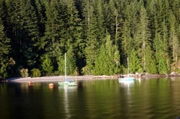
The Knight Inlet marine route, for all its challenges, produces some of the most spectacular scenery on the coast exploring canyons, cliffs, beaches, waterfalls and historic First Nation villages. Some of the highlights include wildlife sightings, and First Nation petroglyphs.
There are First Nation Villages located along this route - both uninhabitable and populated villages. During the early spring kayakers can arrange to attend the First Nations Ookichen Harvest. A wonderful opportunity to experience the traditions and culture of the local First Nation people. Some of the uninhabitable villages are located at Glendale Cove, Port Neville and Minstrel Island.
Knight Inlet includes some opportunities to visit with remote islands. Some of the more popular islands include West Cracroft Island, East Cracroft Island, Minstrel Island and Turnour Island.
Knight Inlet marine route should be explored by experiences navigators due to the challenging conditions of unpredictable winds, changing ocean currents and rough open water. All who plan on exploring knight Inlet should have a good understanding of weather patterns, currents and navigating surge channels. The most notable channels are the routes prior to entering the inlet like Havannah Channel, Chatham Channel and Clio Channel.
Knight Inlet canyons and cliffs act like a funnel for winds. The weather can change quickly. Storms blow in and can turn to gale force winds quickly. A good understanding of the route and sheltered coves is imperative.
The best spots for boats and kayaks to beach camp is usually at the mouths of rivers or on the shorelines of any of the abandoned logging camps. This best camping is between Minstrel Island and Kelsey Bay.
Address:


