LaVerendrye Parkway

Trail Length: 1.5+ kilometre
Difficulty: Easy - Family
Park Amenities:
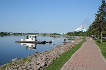
LaVerendrye Parkway is a waterfront pathway which follows the banks of the Rainy River located in the community of Fort Frances, Ontario, Canada.
LaVerendrye Parkway is a 1.5+ kilometre paved and cobblestone pathway which stretches west from, basically, Pither's Point Park to the junction of Front Street and Victoria Avenue located south of downtown.
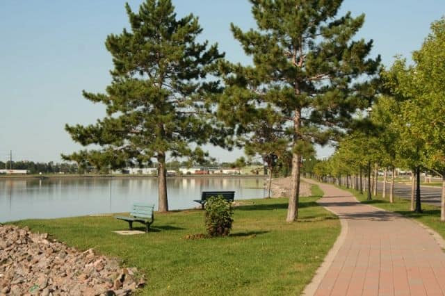
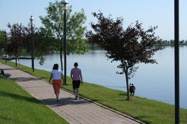
The LaVerendrye Parkway is popular for summer activities like walking, sightseeing, jogging, biking and in-line skating. The trail is also very wheelchair and baby stroller friendly.
The pathway is decorated with grass lawns, flower gardens, sightseeing benches, picnic tables and picnic pavilions. There are places to sit, rest, sightsee on the pathway and places to eat nearby.
Many visitors sightsee and explore the community of Fort Frances while walking the parkway along the Rainy River.
The walkway provides many opportunities for viewing marine activity and for taking some peek-a-boo views of the United States on the far side of the river.
In and around the middle point of the walkway there is a marina called The Sorting Gap acting as a marine service station providing gas and mooring docks.
Located throughout the town and on posted along the LaVerendrye Parkway are heritage plaques and signage providing information about the region and its long history.
The Ontario Heritage Foundation plaques share the stories and history of the the town, the fishing industry, Rainy River, the Sorting Gap and of LaVerendrye himself.
Explore LaVerendrye Parkway, Fort Frances, Northern Ontario, Canada, Sunset Country
Address:


