Naikoon Provincial Park
Park Size: 69,166 hectares
Park Amenities:
Naikoon Provincial Park
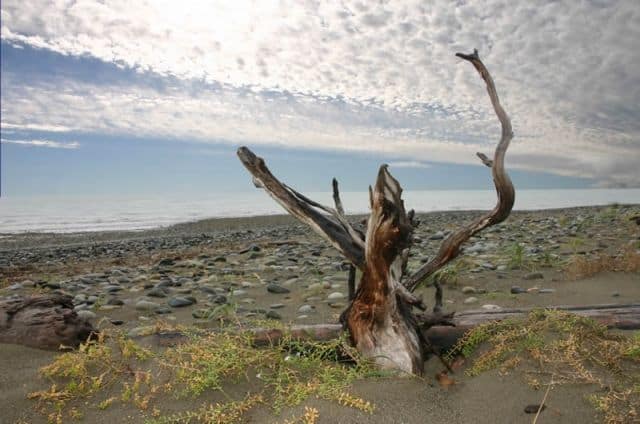
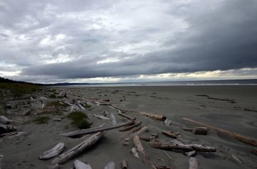
A Haida Gwaii Provincial Park is home to sandy beaches, rolling sand dunes, forested old growth hiking trails, wetlands, bogs, rock cliffs, marine tidal pools, viewing look-outs, historical shipwrecks, west coast fauna and flora and forests populated with wildlife like the smaller Sitka Deer and the powerful Black Bear.  Today, the parkland is a large parcel of ecological bliss with over 100 km (62 mi) of sandy beaches covering the north and east coastal boundaries of Graham Island. Best access points to the park are in Tlell and Masset.
The Naikoon Provincial Park conservation efforts began in 1973, when it was among a group of parks created by the BC Provincial Government in an attempt to make up for the decommissioning of another park named, Hamber Park. A commercial move so to allow for the damming of the Columbia River.
After losing hundreds of hectares of parkland and realizing logging was expanding and growing fast ... the local population of Haida Gwaii got behind the move to protect Naikoon lakes, forests and the wide open pristine sandy beaches along the north coast and east coast of Graham Island.
The area of Naikoon includes part of Hecate Strait and Rose Spit (an ecological reserve). The hike to Rose Spit is ideal for watching birds migrating south. The Tlell River area of Naikoon attracts fisherman from all over the world for its coho salmon and steelhead trout.
Naikoon Provincial Park
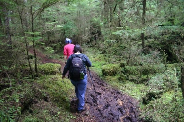
...has a few select hiking, backpacking trails to explore plus there are some smaller park access areas located on the outside perimeter of the park. Many backpackers use the Cape Fife Trail (north Naikoon) or the Pesuta Shipwreck Trail (south Naikoon) as access points to the interior of Naikoon Park via the 89 km East Beach Trail which runs from the Tlell River Bridge (south) to Rose Point on the northeast tip of Graham Island.
There are many trails/park areas in and around the Naikoon Provincial Park like:
North Beach: A large sandy beach easily accessible by foot or car. A big reason this beach attracts people to the area is because of the beach combing, hiking, crabbing, fishing, clam digging, ATVing and relaxing.
The East Beach Trail: A west coast 89 km trek exploring the forests, wildlife and long sandy beaches (East Beach) lining the eastern coastline of Graham Island.
The Cape Fife Trail: Backpackers complete the entire one-way 10 km Cape Fife Trail in about 4-6 hours. Often a trail used as part of the East Beach Trail. A good lookout and camping shelter located at Fife Point.
The Pesuta Shipwreck Trail: One of the more popular day-use hiking trails created in the Naikoon Provincial Park on Graham Island. The Queen Charlotte hiking trail is a moderately easy hike that covers 5 km return and leads to a shipwreck on East Beach.
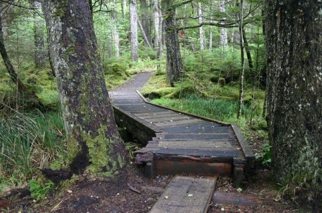
The Blow Hole Trail: The short 15-30 minute return trek (approx. 2 km - 1.3 mi.) which meanders through coastal forests walking along boardwalk pathways leading to surge channels, crashing waves, view of Tow Hill and a blow hole.
The Tow Hill Trail: A result of molten lava erupting out from small cracks in the earth about 2 million years ago. Once the lava reached the surface it cooled quickly and formed rock columns referred to as basalt forming the, Tow Hill Lookout.
Mayer Lake: Picnic area nestled on the southern tip of Mayer Lake is a small park with a boat launch. The area is enclosed with a picnic area, small sandy beach and grassy area.
Agate Beach: Many come to visit this vast rocky, sandy beach to browse, explore and identify various rocks, stones and pebbles while beach combing up and down the shores.
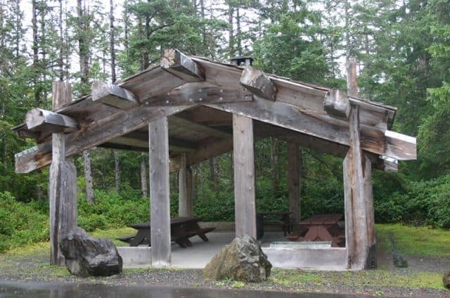
Misty Meadows: Misty Meadows is one of the better parks on Graham Island that is accessible by vehicle. It has it all - sandy beach, short trail, interesting landscape, seabird wildlife, picnic shelter, water, bathrooms and most amenities.
All walkers, hikers and backpackers should be prepared for wet conditions and fast changing weather patterns. Most hike the trails south to north to shield themselves from the, sometimes, heavy winds, bright sun and torrential rains. Proper equipment, attitude and planning are recommended.
Explore Naikoon Provincial Park, Haida Gwaii, BC, Canada
Address:


