Wiggins Road Trail
Trail Length: 2.6km
Difficulty: Easy - Family
Park Amenities:
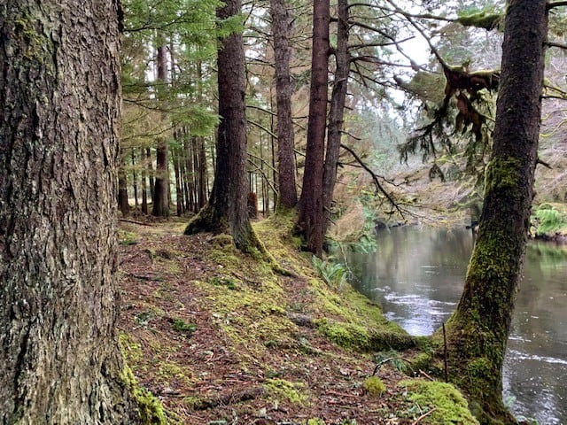
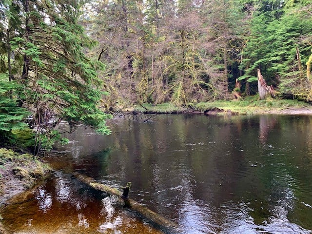
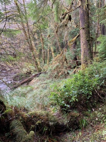
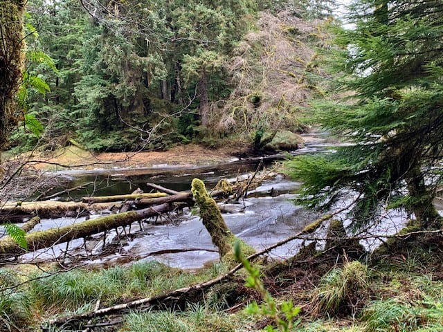
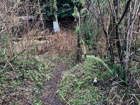
The Wiggins Road trail is an unmaintained 2.6km out-and-back route that follows the Tlell River south along the river’s bank. While the trail is unmarked, it’s still relatively easy to follow until you begin entering the Tlall Conservancy area. At this point, the rough trail gets harder to make out and, at times, almost feels more like a trudge through the forest. Still, the hike has its rewards: At numerous points throughout, one can marvel at the Sitka spruce before them, the lush mosses, and the mighty Tlell.
While the trail can be used for a recreational hike, its primary purpose is to provide access to the Tlell for steelhead fishing. It is not uncommon to see locals along the banks reeling in their catch. Further to this, the trail does provide many side access paths to the river for fishing purposes.
From a hiking perspective, Wiggins Road trail can be classified as an easy to moderate hike. Much of the trail is flat, though there are some significant areas of mud, roots and deadfall. In addition, Wiggins trail does provide an opportunity for a much grander adventure: If you do hike the 1.3km (one-way) from the trailhead, you will eventually connect to the Anvil Trail, which is a 5km loop trail already described on this site.
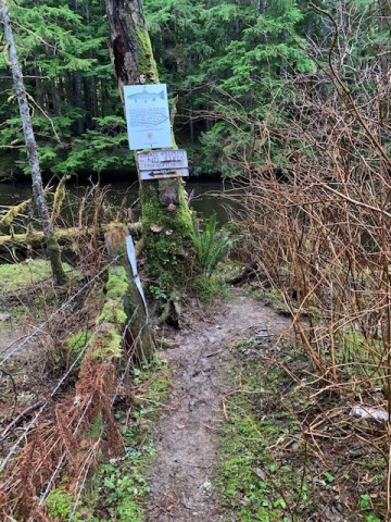
It should be noted that Wiggins Road trail does fall on privately held land for much of its length, so those visiting should be respectful of posted signage.
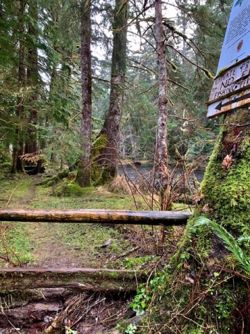
HOW TO ACCESS WIGGINS ROAD TRAIL: While driving along Yellowhead highway 16, turn onto Wiggins Rd and simply follow the road to its terminus point – a cul-de-sac. Here you will spy the unmarked trailhead. NOTE: As you walk down the slight incline at the trailhead, you will see a log fence to your left. You will have to crawl through the fence opening to access the rest of the trail – don’t let this dissuade you!
Address:


