Scout Lake Trail

Trail Length: 2.4km
Difficulty: Moderate
Park Amenities:
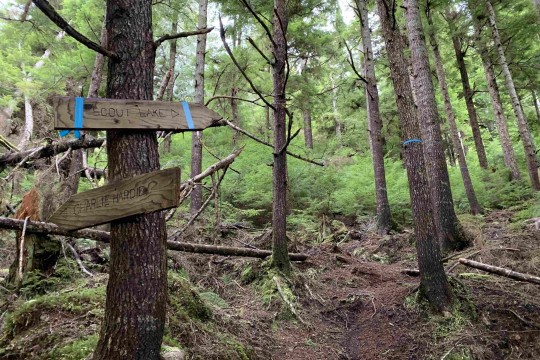
The trail to Scout Lake is something of a hidden gem in the Village of Queen Charlotte because not a lot of people know about it. To access this trail, you must hike to the official terminus of the Charlie Hartie Creek Trail. Once you reach this point (53.2626, -132.09152), you will see a sign indicating the route to Scout Lake, which is flagged with blue tape. Like Charlie Hartie, the hike is a steady uphill climb and, by the end of it, you can expect to have gained up to 420 meters of elevation.
Because the Scout Lake Trail is rarely used, the route is rough and often littered with plenty of deadfall. As you navigate the trail, the scenery is similar to that of Charlie Hartie – lush mosses, ferns and beautiful old growth cedar trees – until you reach the trail’s zenith. Once the terrain flattens, you will be walking on muskeg, so good waterproof hiking shoes are a must. In Spring, keep an eye out for rare calypso orchids, miner’s lettuce, skunk cabbage, cloudberry and Labrador Tea.
Total route length, including the Charlie Hartie, is approximately 2.4 kilometers one-way; so, similar to nearby Regier Lake, allow plenty of daylight to enjoy this hike.
Depending on one’s fitness level, this trail is ranked medium to difficult.
Address:


