Powell Forest Canoe Route

Trail Length: 80+ kms
Difficulty: Difficult
Park Amenities:
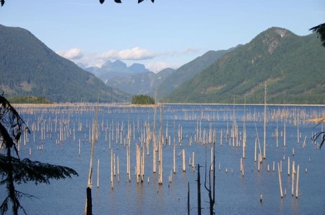
Powell Forest Canoe Route in BC, Canada is said to be one of the most best kept secrets by the kayaking and canoeing world. A voyage of sightseeing bliss, both landscape and wildlife that is mostly traveled by canoe, navigating 8 lakes following a 80 km designated route. A popular river and lake route found in the northern portion of the Sunshine Coast area, nearest to the community of Powell River, BC.
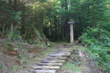
 The Powell Forest Canoe Route includes 5 various different types of portages ranging from a quicky of 25 minutes (0.7 km) to a long haul of over an hour (2.5 km). In total there is 10.7 km of portage work trekking through forests leading to another lake.
The trail system is not wide enough for boat walkers, so it is all humping on your shoulders your backpack and canoe. Expect minor opportunities while portaging like when navigating connector rivers due to tree fall forming log jams. The portage routes are well marked and have regular rest stops along the way to rest.
Experience the Powell Forest Canoe Route paddling in and out of Lois, Windsor, Dodd, Ireland, Goat, Nanton and Horseshoe Lakes. Some paddles last as long as 5 hours. Many say the route can be done in 3 days. But where is the enjoyment in rushing a good thing. Many recommend taking 5-7 days to complete the canoe route.
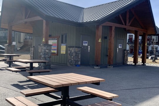
The wilderness campsites along the way have picnic tables, fire pits and, most of the time firewood, unless there is a current campfire ban in place. Some locations are small with 2 designated sites while others have many. Some of the side routes are less busy and have fewer campsites.
Most start the route at Lois Lake and canoe for 8.5 km and continue left for another 14 km through Lois-Khartoum to your first portage of 1.7 km to Horseshoe Lake. At the the beginning of the portage there is a wilderness campground. And towards Khartoum Lake to your right there is another wilderness campground. At the end of the portage is another campground. You pick?
Horseshoe Lake to Nanton Lake is a 6.5 km canoe trip ending with another portage of 2.4 km connecting the Nanton Lake to Ireland Lake. There are wilderness campgrounds at the end of Nanton Lake and at the end of the portage on Ireland Lake. Do not get too excited. It is only a 1 km paddle on Ireland Lake, then an 0.8 km portage to Little Horseshoe Beaver - and another short 1 km paddle - and then 2 more kms of portage. Mmm.. good work-out.
Dodd Lake is a 7 km paddle leading to a 0.8 km portage to Windsor Lake. Hop in the canoe and explore and enjoy the next 2.4 km on Windsor Lake because the next portage is 2.4 km to Goat Lake. Wahooo! Pump them muscles. Many campsites along route to pass out at.
Goat Lake is 5.5 km of paddling before emptying into Powell Lake and 28.5 km of canoe bliss. Wilderness campgrounds located throughout. Powell Lake connects to Inland Lake via a short 0.7 km portage. Board the canoe and explore 5.5 km to the end. Yup, 8 lakes, 80 km of exploring by canoe and 11 km of lugging a canoe on your shoulders. Sounds like fun to us!
There are various guide groups available that know all the ins and outs of the Powell Forest Canoe Route so if you would like to join a group or you already have a group of friends interested but do not have real experience then an interpretive guide is always a positive experience. For the seasoned paddlers, route maps are available in Powell River, BC at various locations.
Address:


